Published :
Updated :
 For all latest news, follow The Financial Express Google News channel.
The shipping ministry's move to bring inland waterway dredging under real-time monitoring is possibly the first of its kind to keep track of dredging activities. As part of a government plan to develop a web-based system, the ministry has reportedly taken up a year-long project to develop software to monitor public and private dredging under various schemes. A welcome move, especially at a time when the government is undertaking multiple mega dredging schemes to tackle declining navigability of waterways, it is expected to address a longstanding problem-so long left to utter neglect despite huge spending of public money.
Dredging, believed to be the only solution to bring navigability of waterways, especially in the river channels, has for long been termed a happy hunting ground for those involved with the under-water activity. The job while being highly cost-intensive because of the expensive oil-fuelled device is fraught with the burdensome task of monitoring the results in a transparent manner. The common practice of dredging in Bangladesh is gathering up the bottom sediments and disposing of those at different locations down stream. It may be noted here that capital and maintenance dredging have undergone dynamic improvements in recent times with the introduction of high-tech trailing suction hopper dredgers and the mighty cutter suctions. Beside navigability, dredging in Bangladesh becomes necessary to protect coastal erosion through raising embankments alongside river banks.
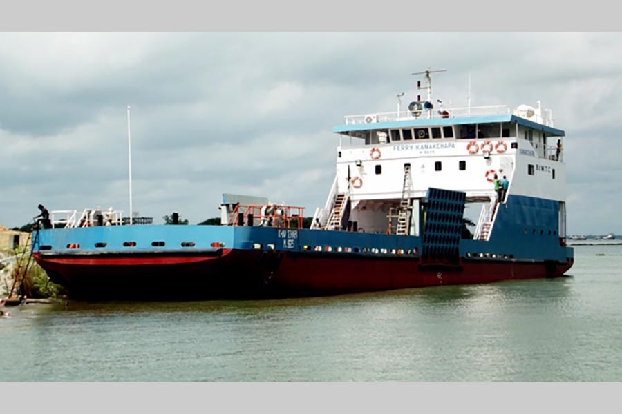
Notably, dredging, particularly capital dredging, taken up from time to time under various projects has not seen much success in bringing the required navigability in many of the key waterways. More than anything, it is the total lack of meaningful monitoring that renders the exercise not worth the high cost involved. Observers consider ineffectual dredging the main cause for shrinking of waterways. A FE report in this regard states that the country's waterways have drastically shrunken to less than 4,000 km in the lean season and to 6,000 km in the monsoon from 24,000 km. This is reflected in the hazardous ferry movement on 12 river routes, mostly in southern Bangladesh, which have been facing serious difficulties due to non-navigability in different channels in the winter. Although some big dredging projects have lately been undertaken at some targeted locations, absence of precise information on the works done or needed to be done makes the progress of work uncertain.
According to experts, the web-based system will be handy in monitoring progress as well as furnish all necessary technical details while dredging is on in one or multiple locations. The system is expected to provide real-time dredging information and also visualisation of dredging locations on web-mapping service like Google Maps. It would also show cumulative dredging volume in graphs. The users would also be able to view information of a particular waterway over the past three to five years. Understandably, the web application -- not very expensive reportedly -- will be able to meet the most critical needs in maintaining navigability in riverine Bangladesh, and as a result, the country's dredging culture is very likely to shed much of its inherent flaws in the days ahead.