Facebook creates detailed population density maps for Asia Pacific
AI-powered, high-res maps to help relief agencies and health organisations better assist people in need
Published :
Updated :
 For all latest news, follow The Financial Express Google News channel.
Facebook is working closely with key non-profit and research partners to use artificial intelligence (AI) and big data to address large-scale social, health and infrastructure challenges in Asia and accelerate achievement of the sustainable development goals.
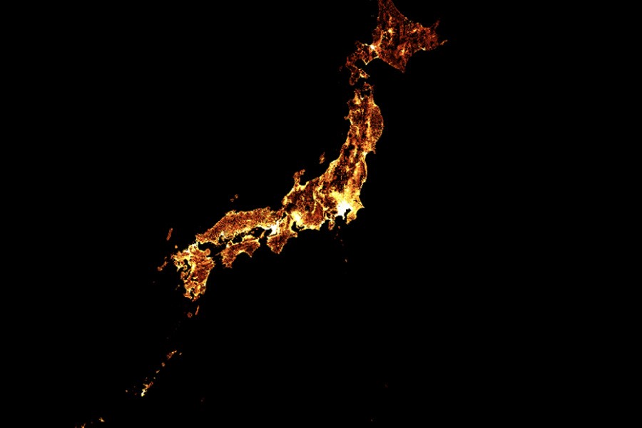
The firm is applying the processing muscle of its compute power, its extensive data science skills and its expertise in AI to create the world’s most detailed and accurate maps of local populations.
Facebook also partners with Columbia University’s Center for International Earth Science Information Network (CIESIN) to ensure that this effort leverages the best available administrative data for all countries involved.
By combining these publicly and commercially available datasets with Facebook’s AI capabilities, Facebook has created population maps that are three times more detailed than any other source, according to a media release received today (Thursday).
The high resolution population density maps will show an estimate of the number of people living within 30-metre grid tiles, and include the number of children under five, as well as the number of women of reproductive age, and other helpful demographics.
Facebook's population density maps can improve how nonprofits do their work, how researchers learn, and how policies are developed, the relase says.
“These maps showcase the power of collaboration between Facebook and top research institutions like Columbia University to combine public data sources and machine learning to empower more data-driven humanitarian projects around the globe,” says Alex Pompe, a research manager at Facebook.
Using its machine learning capabilities, Facebook started developing population density maps to provide better tools to support connectivity efforts around the world.
No Facebook data is used in the project and the census and satellite data used contain no personally identifiable information.
The latest map for Bangladesh can be downloaded on Facebook’s page on Humanitarian Data Exchange.