Published :
Updated :

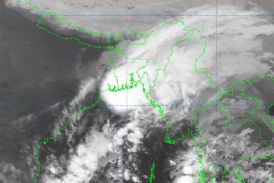
A low pressure area is likely to form over South Andaman Sea and adjoining area during next 48 hours.
It is likely to intensify further, said a special bulletin of the Met Office on Sunday.
The details of its intensification and subsequent path will only become clearer as the week progresses, according to the Indian Meteorological Department. Currently, it remains uncertain whether this system will gain enough strength to transform into a full-fledged cyclone. But if it does, the cyclonic storm will be named Cyclone Michaung, as per the name suggested by Myanmar.
The consecutive storms in the Bay of Bengal can be attributed to the ongoing post-monsoon cyclone season in the North Indian Ocean, lasting from October to December. The warm ocean waters and high sea surface temperatures during this time of the year tend to create favourable conditions for cyclogenesis, according to the IMD.


 For all latest news, follow The Financial Express Google News channel.