Published :
Updated :

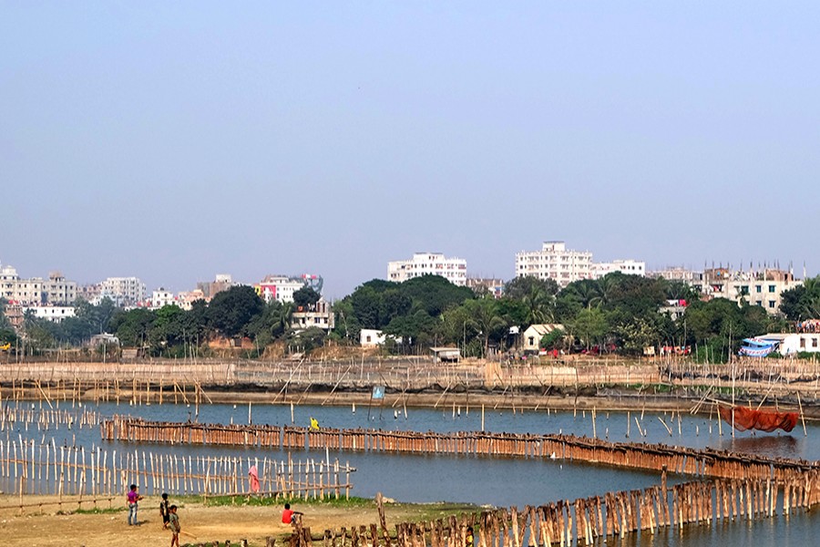
Dhaka and its surrounding areas lost 43,896 acres of wetland that accounted for 23 per cent of the total 187,958 acres during the period of 2010-19, a study has found.
The study covers six areas-the areas under Savar Thana, Roopganj Thana, Keraniganj Thana, Detailed Area Plan (DAP 2010), the Gazipur part under DAP and the Dhaka metropolitan area.
Roopganj tops the list with 41 per cent of the wetland lost. It is followed by the Dhaka metropolitan area with 36 per cent.
These were revealed at a press conference jointly organised by the Transparency International Bangladesh (TIB), Bangladesh Institute of Planners (BIP), BELA, ALRD and Nodi O Poribesh Unnayan Parishad Savar on Thursday.
There are three types of wetland-flood flow zones, water retention areas and water bodies like rivers, canals, lakes and beels. Of them, the country has been losing flood flow zones most.
In the DMDP or DAP area, each year 2500 acres of wetlands are filled up.
About 27 per cent of the 141,069 acres of flood flow zones, about 34 per cent of the 10,419 acres of water retention areas and 8.0 per cent of the 36,497 acres of other wetlands were lost during the last nine years.
BIP general secretary Professor Adil Mohammed Khan and Centre for Environmental and Geographic Information Service (CEGIS) research associate Feroze Ahmed Kanak presented the study findings at the TIB office in the city.
Dhaka city has lost a quarter of 22,038 acres of conservable flood flow zones to earth filling and sand filling in the name of development since the gazette notification of the DAP (2010-15), they said.
During the same period, 57 acres out of 154 acres of conservable water retention areas were lost due to development.
The country loses 42,000 acres of arable and wetland annually, said Prof Adil Mohammed Khan.
"Conservation of water bodies like rivers and canals, wetland, retention areas and flood flow zones are all vital to making development and urbanisation sustainable maintaining an ecological balance," said Mr Adil.
He also said that the authority concerned did not evaluate the economic and environmental contribution of the wetland areas.
Mr Feroze showed how the river banks and wetlands from Diyabari to Ashulia were filled up by owners of brick kilns, land developers. There were 50 grabbers but he could collect only 27 names.
He said the Dhaka North City Corporation set up a land fill at Aminbazar on primarily 52 acres in 2004. The area now increased to 74 acres. The area is a flood flow zone. The landfill area was on 59 acres in 2015 after acquisition of 52 acres in 2014. It increased to 70 acres in 2017 and 74 acres in 2018.
Besides, another 200/300 acres of land are not cultivable there and the inhabitants of that area are forced to leave their homesteads as there is no livelihood and the environment is polluted.
TIB Executive Director Dr Iftekharuzzaman said, "Such destructive work in the name of development occurred due to lack of governance, entailed by a tripartite unholy alliance of businessmen, law enforcers and political authority. This tripartite nexus institutionalises the illegality."
Such a situation set an example of the level of corruption, said Mr Zaman. He said the Rajdhani Unnayan Kartripakhha (Rajuk) cannot avoid its responsibilities, as they are the authority to monitor.


 For all latest news, follow The Financial Express Google News channel.