Published :
Updated :

Some readers will be a little surprised to read this article as I am writing about a probabilistic outlook of seasonal flooding during the summer of 2018, which is almost 9-months in advance from now. I know this is a challenging task, but this is possible because the beauty of probabilistic forecasting techniques is that you can make advance forecasts for 3-12 months (1-4 seasons) in advance.
WHAT ARE SEASONAL FORECASTS: In the case of short-range and deterministic forecasts, we can generate information 3-7 days in advance, but the probabilistic seasonal forecasts can produce information for about 3-12 months in advance with reasonable accuracy.
However, while the deterministic forecasts are mostly accurate as these are on shorter time scales, the probabilistic forecasts have some uncertainties because of the longer time scales. Therefore, when you read a probabilistic flood forecast in a three tercile format like 40:40:20, it means that the possibility (or probability) of higher-than-normal flooding is 40 per cent (upper tercile), the possibility for normal flooding is 40 per cent (middle tercile), and the possibility for lower-than-normal flooding is 20 per cent (lower tercile).
This means that even if we forecast 40 per cent possibility for a higher-than-normal flooding, there is still a 20 per cent possibility of lower-than-normal flooding. While the deterministic method can produce forecasts only during the occurrence of an event [for example, the 'Flood Forecasting and Warning Centre' of the Bangladesh Water Development Board (BWDB) produces information on daily rise/fall river water-level in a flooding season], the probabilistic method can produce forecasts in a hot/dry spring about a rainy summer and monsoon flooding.
CAUSAL CONNECTION BETWEEN LA NIÑA AND SEASONAL FLOODING IN BANGLADESH: La Niña refers to the appearance of colder-than-average sea surface temperatures (SSTs) in the central or eastern equatorial Pacific region, which is the opposite of conditions during El Niño.
It is a cold event where the SSTs become anomalously colder compared to the long-term average for the central and eastern equatorial Pacific. La Niña episodes also feature large-scale changes in the atmospheric winds across the tropical Pacific, including increased easterly (east- to- west) winds across the eastern Pacific in the lower atmosphere, and increased westerly (west-to-east) winds over the eastern tropical Pacific in the upper atmosphere. These conditions reflect the enhanced strength of the equatorial Walker Circulation. When this Walker circulation is strong, the upper tropospheric winds in the Australasian region are easterly and, consequently, tropical disturbances are transported westward into the Bay of Bengal. As a result, there is a significant increase in rainfall along the greater Ganges-Brahmaputra-Meghna basin systems that, in turn, flood Bangladesh, which is the lowest riparian country in these basins. All the major (strong) La Niña years (1964, 1973, 1988 and 1998) recorded excessive rainfall with increases of: 4-percentage points in 1964, 8-percentage points in 1973, 30-percentage points in 1988 and 10-percentage points in 1998. Sea level was approximately 6-10 cm higher in all these years except 1988 and 1998, when the rise was close to 20 cm. So, excessive rainfall along the GBM basins and high sea level at the estuary (which obstructs normal water flow to the Bay of Bengal) are among the main causes for flooding in Bangladesh during any La Niña year. In addition, the synchronisation of the flow of water from the Ganges and Brahmaputra/Meghna further aggravates the problem of flooding. Historically, Bangladesh has always been seen as wetter than normal during any La Niña year (weak, moderate, or strong).
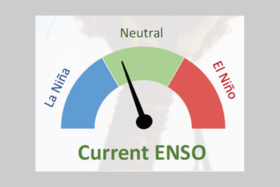
CURRENT LA NIÑA STATE: Currently La Niña-like signals seen in the ocean-atmosphere system in the tropical Pacific Ocean have become more prominent and coherent as of September 2017. However, they have not reached the thresholds required for a La Niña event to be declared. Sea surface temperatures in the central and eastern equatorial Pacific Ocean cooled substantially during September. Rainfall and convection anomalies in the tropical Pacific have become more La Niña-like than they were in August. According to latest NOAA Climate Prediction Center (CPC) and the International Research Institute for Climate and Society (IRI), La Niña conditions are favoured (55-65 per cent) during the fall (Nov-Dec) and winter (Jan-Feb) of 2017-18, indicating that the ocean and atmosphere system remains consistent with El Niño/Southern Oscillation (ENSO)-neutral but edging closer to La Niña conditions. According to the recent Island Climate Update of the National Institute of Water and Atmospheric Research (NIWA) of New Zealand, ENSO conditions are currently near neutral but close to La Niña thresholds. The recent WMO bulletin also mentioned that models surveyed and expert opinion suggest that weak La Niña conditions may develop, with about 50-55 per cent probability, in the final quarter of 2017. Any El Niño condition in 2018 has been ruled out.
HOW LIKELY IS FLOODING IN BANGLADESH DURING THE LA NIÑA OF 2018: It appears that a weak-to-moderate strength La Niña is developing, which may cause basin-wide enhanced rainfall during 2018. This enhanced rainfall may ultimately cause minor-to-moderate flooding inside Bangladesh. It may be noted that, at this moment, the scientific community is not in a position to assess the final strength of La Niña of 2018; this can only be determined during April-May of 2018. However, at this stage, it can be noted that if La Niña strengthens, then a more severe flooding may occur. As El Niño conditions have been ruled out, the probability for a drought (or dry condition) is lower-than-average (or non-existent). As discussed previously, the current forecast for flooding in 2018 can be presented in the three tercile format as 40:40:20, which means there is 40-percentage probability for higher-than-normal flooding, 40-percent probability for normal flooding, and 20-percentage probability for lower-than-normal flooding.
Dr. Md Rashed Chowdhury is Principal Research Scientist, Pacific ENSO Applications Climate Center (PEAC), University of Hawaii at Manoa, Affiliate Faculty—Water Resources Research Centre.
rashed@hawaii.edu


 For all latest news, follow The Financial Express Google News channel.