Published :
Updated :

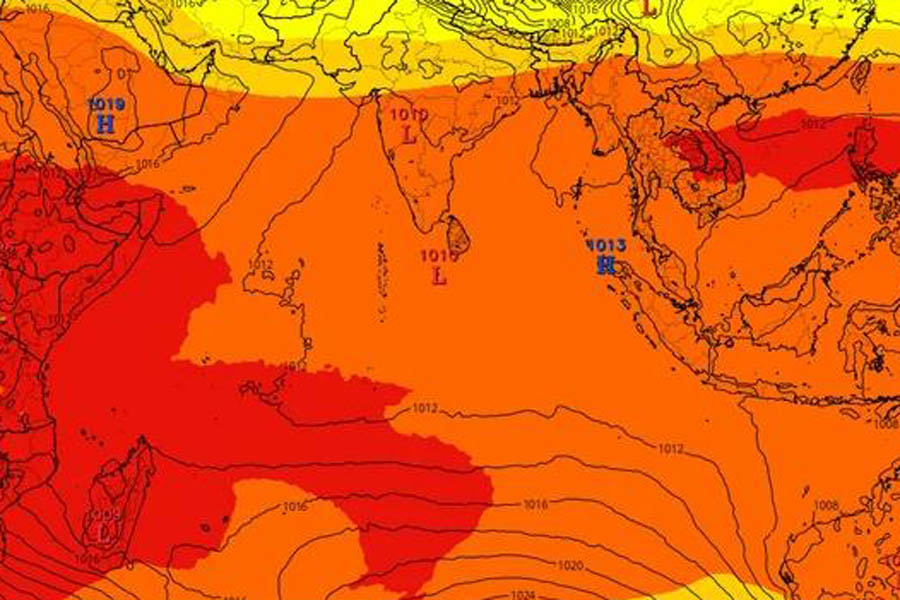
A low pressure area has formed over the south Andaman Sea and adjoining areas, which is likely to intensify into a cyclonic storm.
The current low pressure will become more well-marked by Wednesday (Today) and might turn into a depression, meteorologist Monowar Hossain has said.
"We'll understand its path and nature better after it forms, and then we'll give out weather warnings based on how it progresses," he added.
The weather in Bangladesh may remain dry, with a partly cloudy sky over the country, according to the forecast for Wednesday.
The night temperature may drop slightly, and the day temperature may remain almost unchanged, reports bdnews24.com.
The India Meteorological Department forecasts that the low pressure might turn into a deep depression and a cyclone by Dec 2. It will be named Michaung, a name given by Myanmar.
The cyclones in the Arabian Sea and the Bay of Bengal are named by the World Meteorological Organisation's regional cyclone agency ESCAP. The storm, which recently originated in the Bay of Bengal, was named Midhili by Maldives.
Beyond the Bay of Bengal, the upcoming cyclone Michaung is the sixth such event forming in the Indian Ocean this year, proving that Indian waters have been busier than usual compared to the customary four cyclones that occur in most years, according to the Times of India.
It said the possible storm system, originating in the Gulf of Thailand, has been moving towards the Tamil Nadu coast, but may curve towards West Bengal, Bangladesh and Myanmar.
On Nov 17, Cyclone Midhili lashed Bangladesh’s coast with “weak” winds, but caused significant harm, killing at least nine people and destroying scores of homes.


 For all latest news, follow The Financial Express Google News channel.